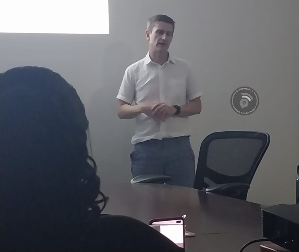
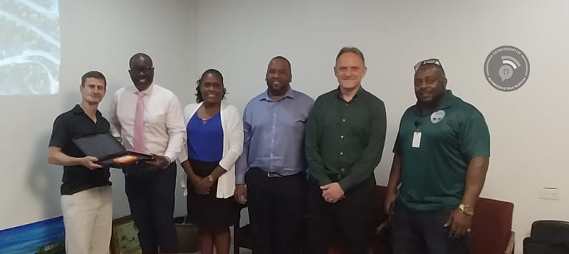
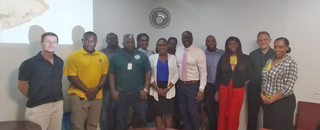
Government officials from several departments were trained in a two-day workshop to preview the underwater survey processes that were used to create the updated Coastal Resources Atlas.
The workshop follows the Government of the Virgin Islands officially receiving the completed Coastal Resources Atlas product which is a detailed map of the entire BVI territorial sea area comprised coral, sand, mud, rock, rubble, seagrass and other marine habitat types.

Permanent Secretary in the Ministry of Environment, Natural Resources and Climate Change Mr. Ronald Smith Berkeley stated, “The Coastal Atlas and MSP Tool Training workshop will no doubt be of great benefit for participating officers, who in turn will be able to assist in the protection and preservation of the BVI environment. The BVI/UK partnership, lends opportunities to our public officers so they can achieve this objective of protecting the environment”.
Meanwhile, Environment Officer with specialisation of Geographical Information Systems for Environmental Management Mrs. Rozina Norris-Gumbs said that there was the need for an update of the data that was being used for the past 15 years which covered a small portion of the coastal areas of the Virgin Islands.
Mrs. Norris-Gumbs said, “At the end of this training we hope to be able to learn how to input accurate information into this tool, so we are able to obtain answers that we may have about our marine resources such as preventative measures that would not put unnecessary stress to sensitive areas; and what harmful activities to refrain from that would negatively affect our natural environment.”

Officers also received training in the utilisation of the newly acquired MSP tool which will be able to assess the effects of human activities such as pollution, development practices, illegal fishing, recreation, etc. on our marine habitats.
The training was conducted by Dr. James Strong, a member of the National Oceanic Centre in the United Kingdom, Mr Shane Pinder and Neil Thurston of WSP Global Inc. who designed the MSP toolbox utilising geographical information systems (GIS) software. Their previous work in the Virgin Islands includes the creation of the Hazard Vulnerability Assessment Tool that is currently being utilised by the Department of Disaster Management.
Government officials from the Ministry of Environment, Natural Resources, and Climate Change, Department of Agriculture and Fisheries, Town and Country Planning Department, National Parks Trust of the Virgin Islands, Lands and Survey Department, and the Virgin Islands Shipping Registry participated in the workshop.
The two-day training was part of an ongoing programme which started back in 2019 for the “underwater survey training” which took place during that period. The workshop is part of two Darwin Plus funded projects along with Joint Nature Consultation Committee (JNCC), National Oceanic Centre (NOC) and MSP Global Inc. all based in the United Kingdom.

