
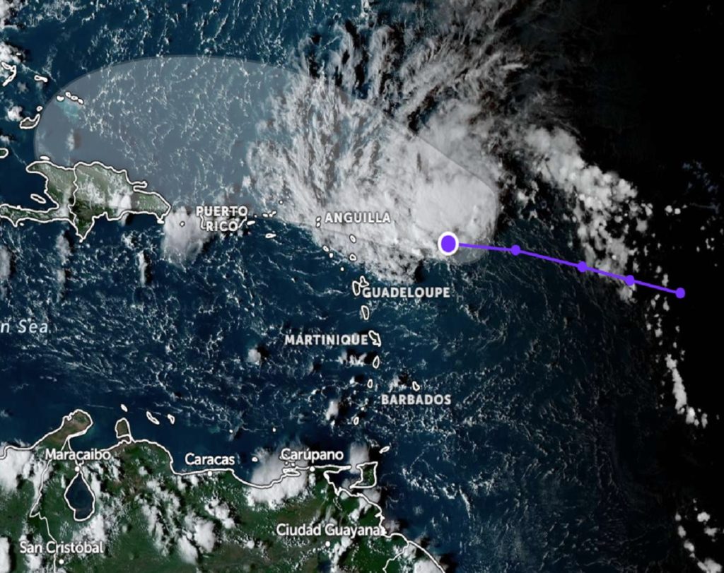
Invest 94L, a weather disturbance in the Atlantic, is projected to bring unstable weather conditions to the British Virgin Islands within the next 24 hours.
Currently situated approximately 700 miles east-southeast of the territory, the system is moving westward at a speed of 20 mph, with sustained winds of around 30 mph.
While Invest 94L has a low chance of developing into a tropical system over the next 48 hours, forecasters warn that it could still generate increased rainfall and turbulent weather conditions across the islands. Residents should be prepared for a higher likelihood of showers throughout Friday as the disturbance nears the region.
Marine conditions are expected to deteriorate later today, prompting the possible issuance of a small craft and high surf advisory. Swimmers, beach-goers, and small craft operators are urged to exercise caution over the coming days due to the anticipated rough seas and heightened wave activity.
For those living in low-lying and flood-prone areas, the risk of localized flooding remains a concern, especially if heavy downpours accompany the system’s passage. Emergency officials have advised residents to remain vigilant and take necessary precautions, including monitoring weather updates and preparing for possible flooding.
Though Invest 94L is not expected to develop into a significant tropical system, its potential impact on local weather should not be underestimated. The Department of Disaster Management has indicated that it continues to monitor the system closely and will provide updates as conditions evolve to ensure the safety of residents and visitors throughout the territory.